-p-1080.jpg)

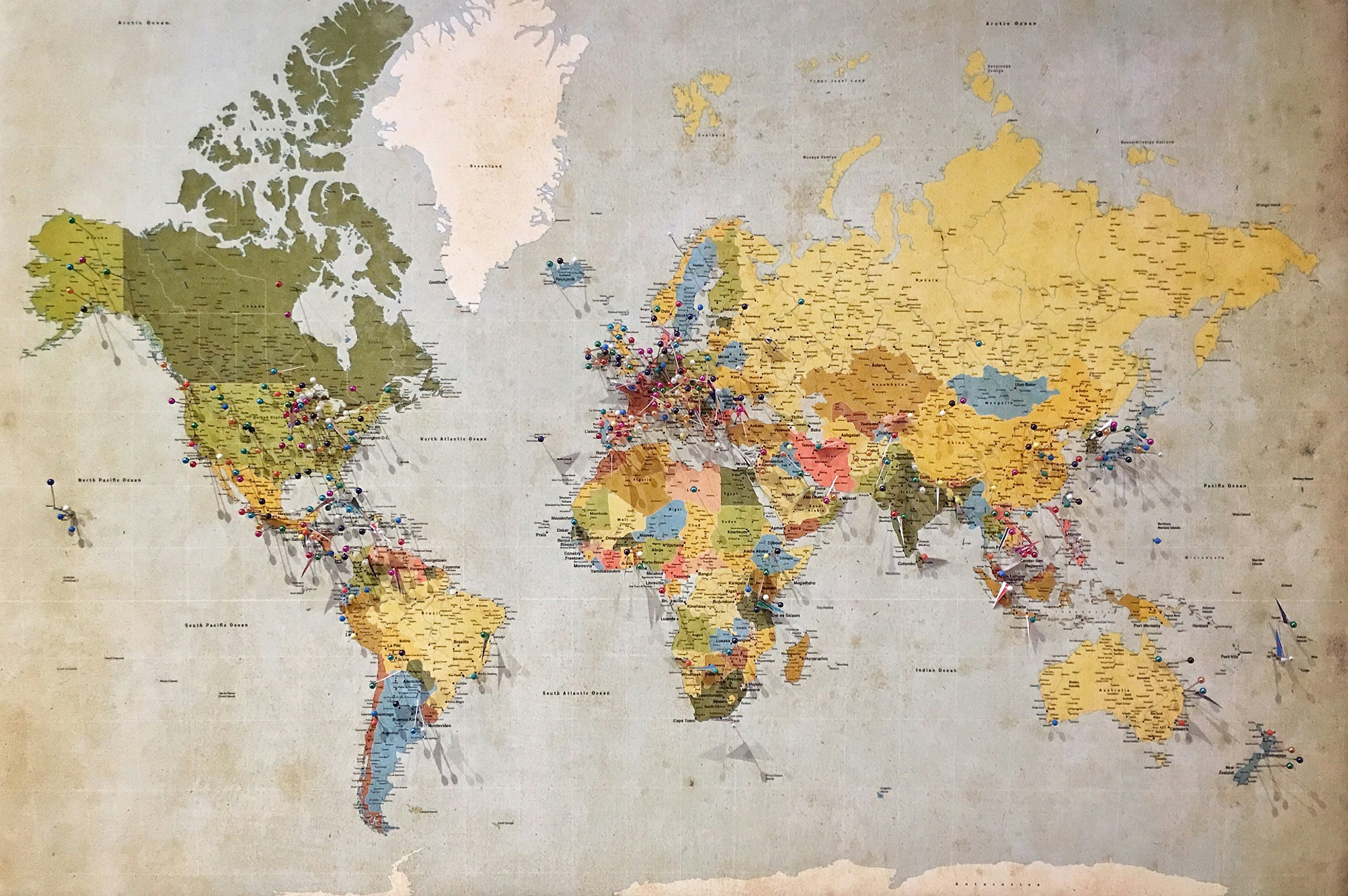
We’ve come a long way since we freed our data from the bondage of PDFs and let it breathe in spreadsheets. Now we’re going to soar across the Kenyan landscape by using maps to explore data. Buckle up!
The Rise of Digital Mapping around the world
Digital mapping in newsrooms around the world has become increasingly popular. Maps can be valuable not only in exploring data for a story by showing differences between locations, but can also add a visually appealing element to a story for the reader. In Kenya, the creation of 47 counties after the promulgation of the 2010 Constitution spawned a whole new deluge of mapping in Kenya. County maps have become a vivid way of illustrating countrywide data and highlighting inequalities in poverty and service provision.
Types of Thematic Maps for Presenting Data
You can use lots of different thematic maps to present data. Thematic maps, as the name suggests, are used to display a single theme or narrow set of themes. Types of thematic maps include:
- Choropleth maps which use colour and shading to visualise numeric values
- Dot density maps which use massing of dots to indicate the density of a certain phenomenon, such as population or potential transit passengers
- Proportion symbol maps in which the size of a symbol increases with magnitude
- Isoline maps which use lines (isolines) to indicate areas with equal value.
- Reference maps are used to show general location information. These include tourist maps or the political maps showing countries, cities, towns, rivers, parks, forests, schools, hospitals and other everyday features.
The power of maps to explore your data
Even when data is presented in an accessible format such as a spreadsheet, we might still struggle to make sense of what it shows us. Maps have the power to lay out data in a way that provides geographic comparisons that are immediately clear to the audience. For this article, we will explore data provided by Kenya Demographic and Health Survey Key Indicators Report 2022 about physical violence against women.
Physical violence against women is widespread in Kenyan society. According to this dataset, over a third of all women aged 15 to 49 (34%) have experienced physical violence at some point in their lives. Despite its prevalence, this violence often only comes to the fore in Kenyan media because of tragedies in the news, particularly when a well-known woman, such as a star athlete, is affected. How do we move from specific events-based reporting to more systematic issues-based reporting? Data may offer us the opportunity to provide more holistic coverage to this critical issue.
Some questions that maps might help us answer include: Is violence against women uniform across Kenya? Are some counties less prone to violence against women than others? If so, why is that? And vice versa: are there some counties where violence against women is higher?
Finding the story worth telling
For this article, we have drawn up a choropleth county map of Kenya to illustrate the prevalence of physical violence against women using the KDHS 2022 data. We used a great tool, Datawrapper, to create the map. If you’d like to know more about how to use DataWrapper, you can explore our training module on it here. We will break down how we analysed the data and how it could turn into a story that matters.
Although this survey shows an improvement over the 2014 Survey where 45% of women reported physical violence, disaggregation of the data into counties not only shows that high levels of violence persist, but also shows the variation between the counties. For example, In four counties (Bungoma, Murang’a, Homa Bay and Migori), more than half of all women reported having ever experienced physical violence.
The map shows that women in Mandera County in the northeast reported the lowest proportion of women suffering physical violence in Kenya. Lower rates of violence predominated in the north and northeastern side of the country, with Marsabit and Wajir counties reported suffering physical violence at 16% and 13% respectively.
Kitui County in lower eastern Kenya and Kericho seem to offer isles of relative peace, at 12% and 16% respectively, with higher values among neighbouring counties such as Machakos (26%), Makueni (23%), Nakuru and Nyandarua (both 24%).
That contrasted with the counties in the northern Rift Valley where women reported suffering physical violence at between rates of between 42% and 49% from Turkana, down to Samburu and Isiolo.
The most common proportion of women reporting violence was 30-39 percent and this is evident across the map, having been reported in 18 counties. However, there were certain concentrations of relatively high violence. In addition to northern Kenya, higher rates can be found in Central, Western and Nyanza (lake) regions.

Figure 1: County map of Kenya showing percentage of women in Kenya who have ever suffered physical violence since the age of 15 (Online map).
The Story
Now that you have the data and the map, what kind of stories can the map help you tell? Here are some questions you could consider asking about maps and physical violence against women:
- What does the map show and what does it leave out?
- Maps are political. Is there historical and development context that leads to the findings displayed in the map?
- How well or how poorly does the map capture the immediate context of physical violence?
- How severe is the violence?
Let us tackle each of these individually.
Map Discrepancies: What maps show and leave out
While our map shows individual counties, it does not show the prevalence of violence in smaller administrative units such as sub-counties or wards leading to the possible assumption that physical violence is equally distributed throughout each county. Also some counties such as Nakuru, Kiambu and Kisumu have both large towns and rural areas, and possibly therefore, experience two different realities. While county-level data provides some level of disaggregation, it does not necessarily provide the whole picture. Be aware of the assumptions that you might make when comparing counties with different social, economic, political and cultural factors to each other.
Understanding the political realities and outcomes
Certain parts of a country, such as capital cities and ports, are more developed because of historical government policies or ethnic discrimination. These areas may provide more economic opportunities to women. This means that women may be more empowered to negotiate safe relationships, own or rent their own home, or flee abuse in more developed regions than others.
Modern attitudes towards gender relations also mean that physical violence is less likely in these places. For example in Figure 1, the most densely populated cities, such as Nairobi and Mombasa have lower rates of physical violence than places that are largely rural such as Bungoma, Murang’a and Samburu. This would also provide the perfect line of questioning to your subject matter experts as you start to develop your understanding of what is happening on the ground and unpacking what the data is showing.
Always consider the data collection methodology
It is always important to remember to consider how and when data is collected as a key lens through which to analyse your data. Is the data collected over time? Are the same respondents questioned year after year? Or is it a different group each time? Does this dataset represent one point in time? In this case, the data represents one snapshot at one point in time. Rates of physical violence may also increase or decrease due to certain events, such as job losses or increased time spent indoors during the Covid-19 pandemic. This variety over time may not be captured in a map, but can be elaborated in an interview.
Missing Indicators: Severity of Physical Violence
One issue or story may have multiple angles to pursue. Are there other elements to the story that should be considered in your story that may not necessarily be captured in the dataset? In this case, severity of violence may be one additional entry point. The county map shows the percentage of women who go through physical violence but does not map the severity of that violence. It may be that the violence is uniformly severe across the country, and that would be a good question to ask during interviews or to find in other datasets.
Always remember: Numbers are no substitute for real lives
You may have excellent data on physical violence, but data is almost always a starting point or a guide to where cases could be found. Interviews with survivors of physical violence will bring your story to life.
As you interview survivors, be sensitive to their willingness to speak. Ensure that you keep their identities or identifying information secret, if for example they are minors, or they fear retaliation or being returned into an abusive situation.
Also focus on how to empower your audience, providing them with information they can use to escape physical violence, such as the contacts or law enforcement or human rights organisations which run safehouses and shelters.
Good luck with telling your story!